
Surveying & Mapping
At Drone Pilot Services, we transform aerial imagery into powerful data that supports planning, monitoring, and decision-making. Using advanced imaging and photogrammetry techniques, we deliver accurate visual outputs such as maps, 3D models, and progress reports that help clients understand their sites and assets with clarity.
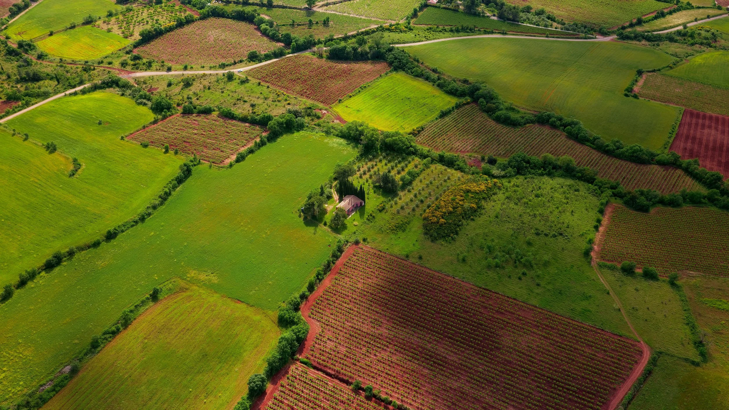
2D Mapping & Orthomosaic Imaging
We capture high-resolution aerial images and stitch them into seamless, georeferenced 2D maps. Perfect for land management, planning, and project documentation, these maps provide a clear overview that’s far more detailed than satellite imagery.
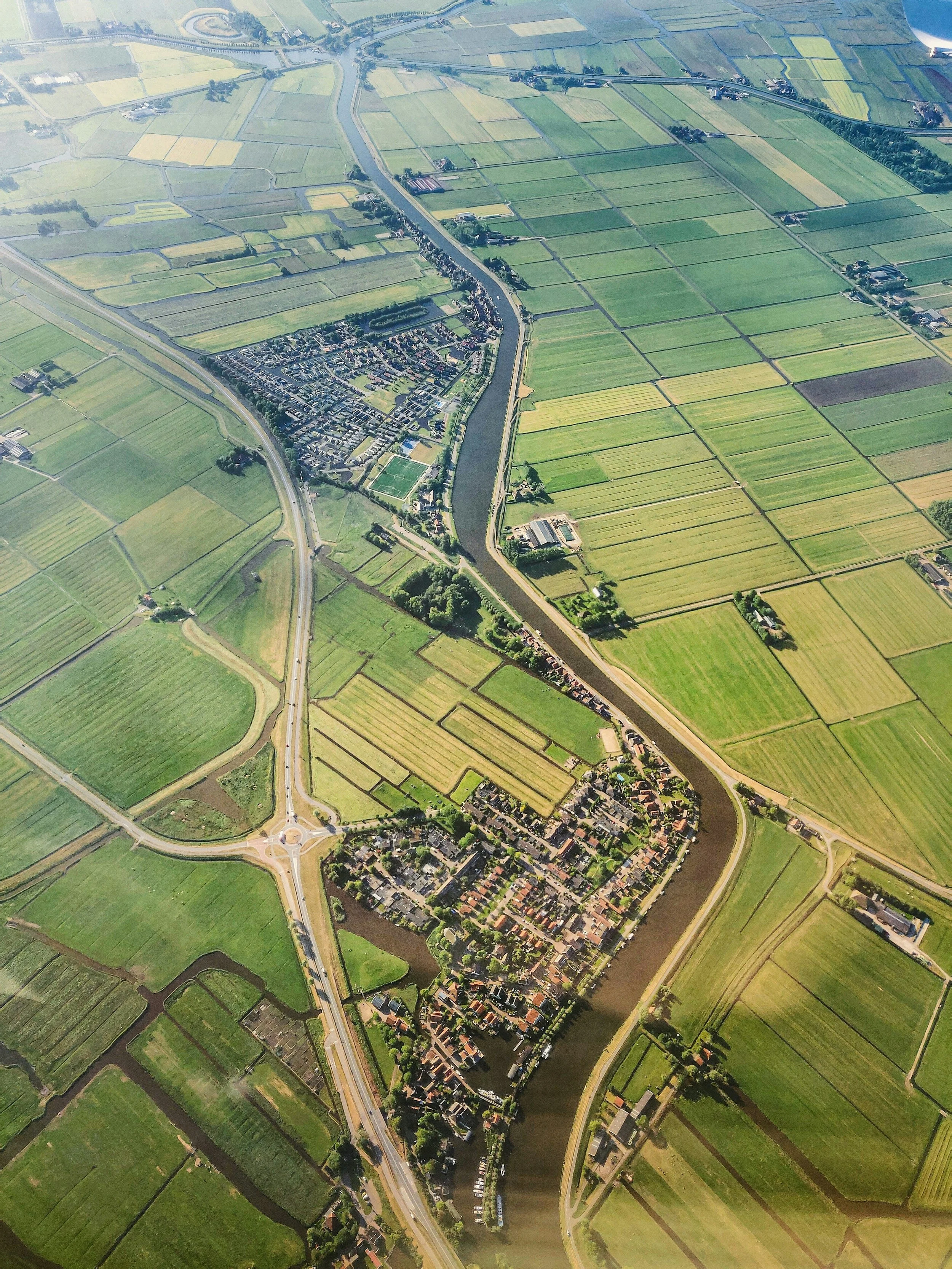
3D Photogrammetry Models
Bring your site to life with 3D models that highlight terrain, buildings, and structures. These models support planning, design, and analysis across industries such as construction, real estate, and environmental management.
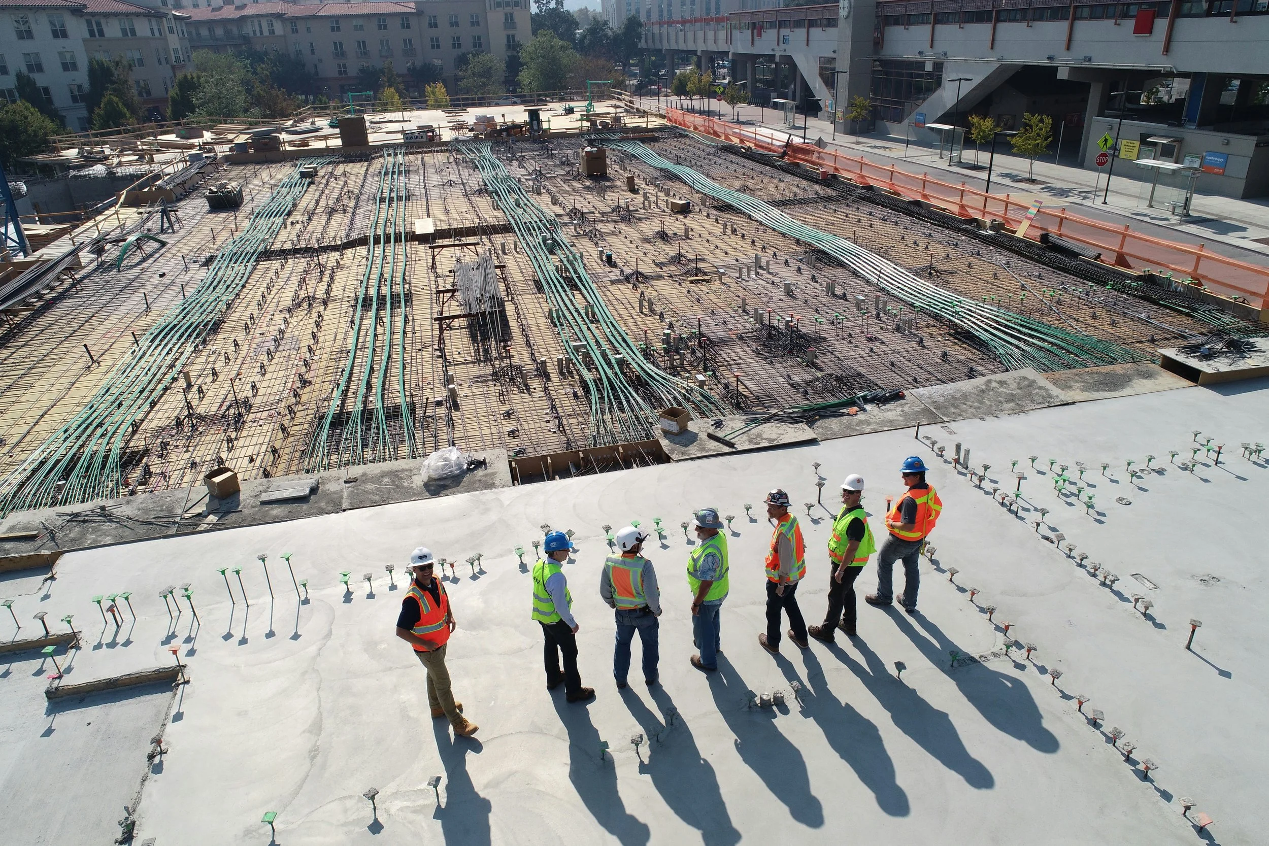
Construction Site Monitoring
Track site development with regular aerial surveys. Our maps and models help project managers monitor progress, identify issues early, and maintain accurate records for reporting and compliance.
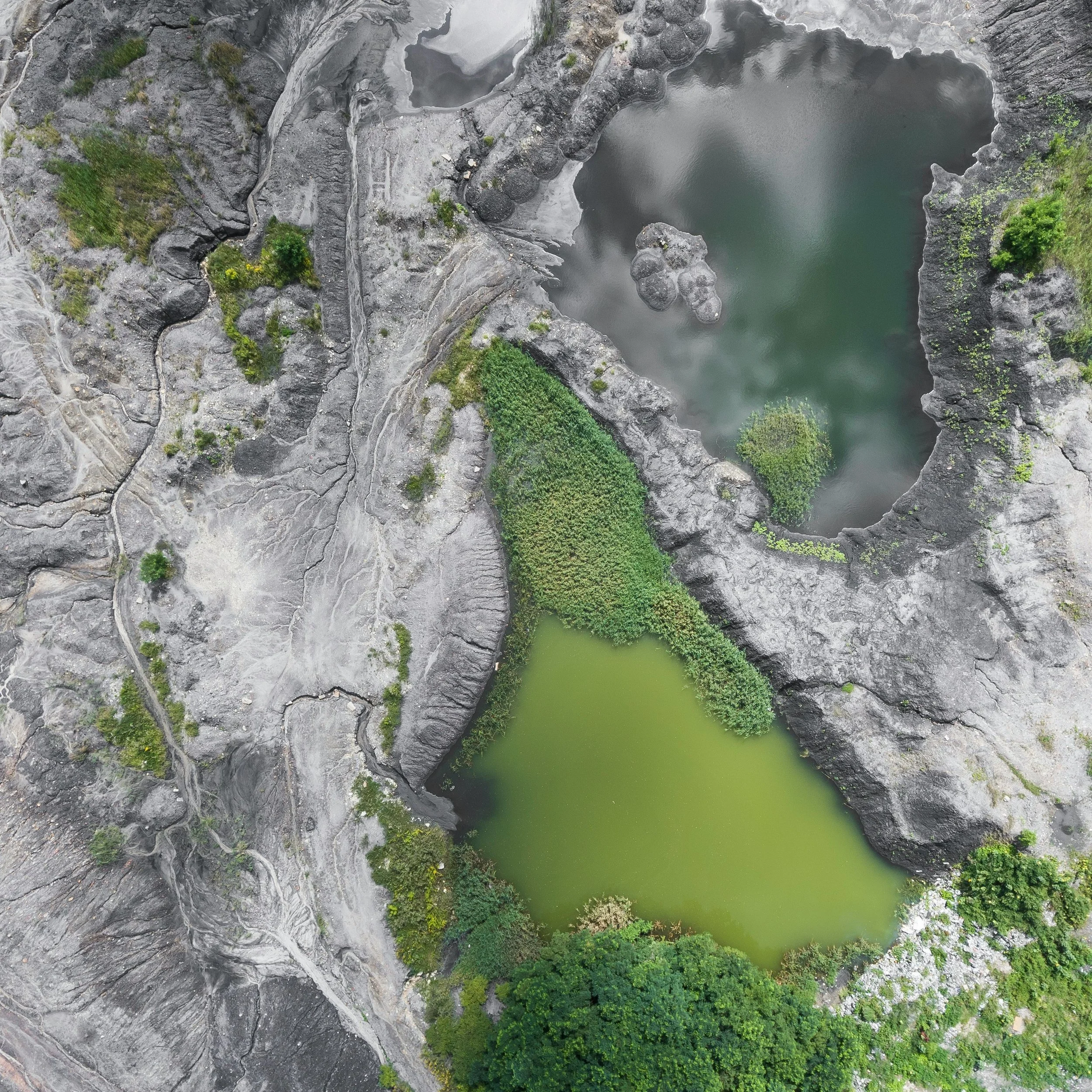
Land Surveys & Volumetric Analysis
From measuring stockpile volumes to assessing earthworks, aerial surveys provide fast, accurate data collection. This reduces the need for ground teams to enter hazardous or hard-to-reach areas while saving time and cost.
Why Choose Our Surveying & Mapping Services?
Efficient data collection – cover large areas quickly and safely.
Accurate visual outputs – high-resolution maps and models for reliable insights.
Versatile applications – supporting construction, land management, and environmental projects.
Cost-effective & non-disruptive – fewer boots on the ground, more data in less time.
At Drone Pilot Services, we turn aerial data into actionable insights, giving you the tools to plan smarter, work safer, and achieve better outcomes.