
Environmental & Agricultural
At Drone Pilot Services, we support landowners, farmers, and environmental organisations with aerial imaging that delivers clear insights and measurable results. Our services help monitor landscapes, assess crop health, and document environmental change — all while saving time, reducing costs, and improving safety.
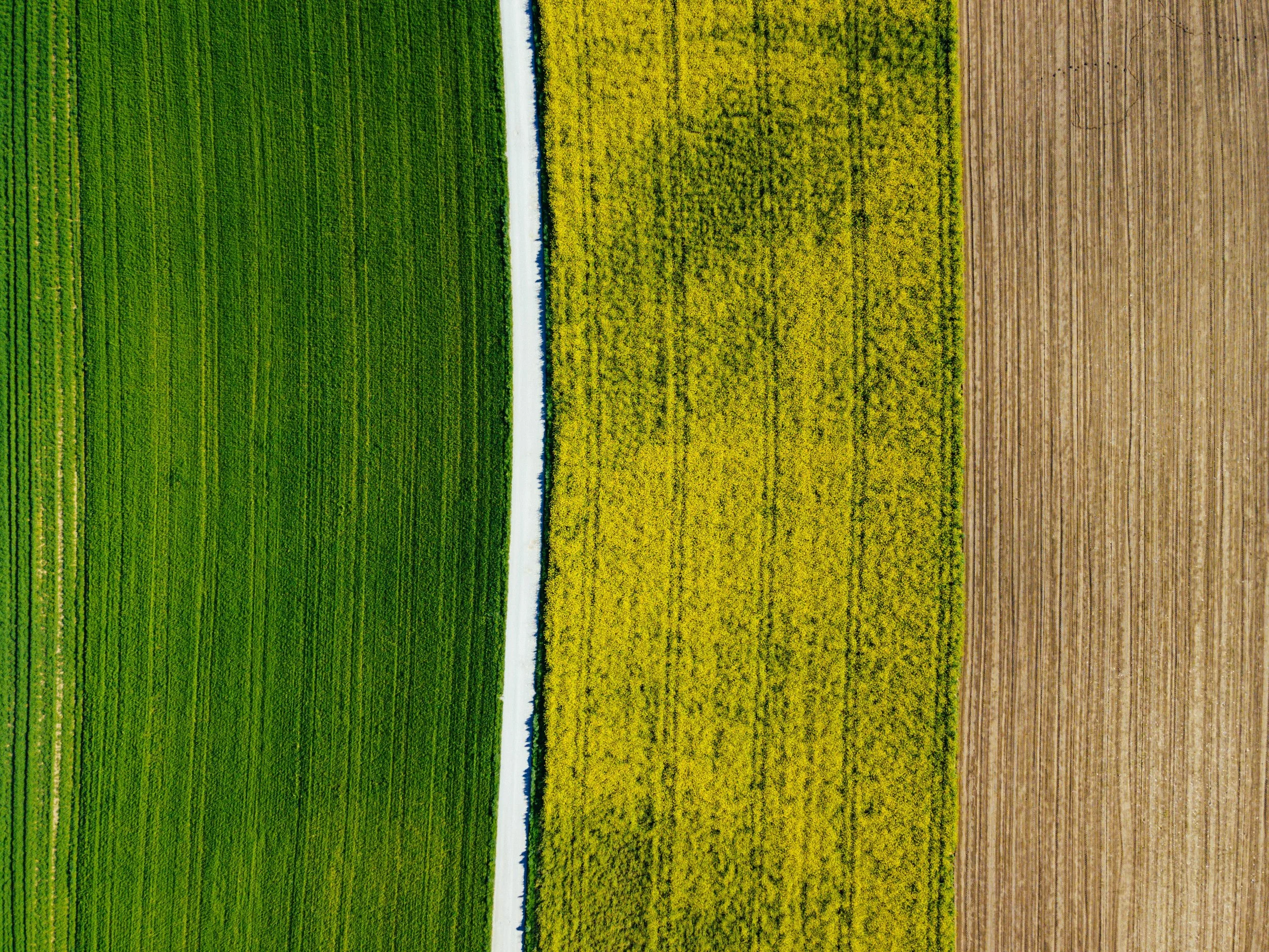
Crop Monitoring
Track crop growth and field conditions with detailed aerial imagery. Our surveys help farmers identify problem areas early, optimise inputs, and improve yields through smarter decision-making.

Forestry & Tree Surveys
Gain a bird’s-eye view of woodland areas. We provide aerial assessments that support forestry management, canopy analysis, and storm damage reporting.

Coastal & Flood Monitoring
Document and track environmental change over time. Our aerial imagery helps councils, developers, and conservation teams monitor coastal erosion, flooding, and other natural processes with accuracy and consistency.

Wildlife & Habitat Mapping
Support conservation projects with aerial perspectives that highlight habitats, population areas, and environmental changes. All flights are conducted responsibly and with the necessary permissions to minimise disruption to wildlife.
Why Choose Our Environmental & Agricultural Services?
Early insights – detect crop and land issues before they escalate.
Large-area coverage – survey fields, forests, and coastlines quickly.
Reliable documentation – create consistent visual records for analysis and reporting.
Safe & efficient – reduce the need for manual surveys in difficult terrain.
At Drone Pilot Services, we help clients better understand the land they manage and protect the environments they care about — turning aerial perspectives into practical solutions for agriculture and conservation.